(Onoufrios is written in Greek and is pronounced Nufrios) The last road village from Agios Kirikos, 5 minutes by car from the top of the pass, is called “Oxia or Oxea”. This village exists on the map and in nature. Unfortunately, there is no street sign with the corresponding place name either from below or from above.
If you drive down from the top of the pass to the military station, after about 500 m there will be a junction on the left, marked with a rusty old board “Airport”. You drive past here, always staying on the main road towards Agios Kirikos. After a few bends (approx. 3 minutes) houses on the right and left of the road indicate that you are in “Oxea”. Based on the photos and my red/white sprayed points, after a right-hand bend that goes past a small shop, you will find the small, unpaved road that branches off to the right of the main road.
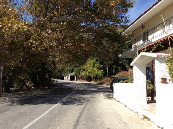
On the right is the shop, to the right of this small garage in front is the street (red dots)
The church “Onoufrios” is a maximum of 5 minutes away from the main road. Litsa, the woman who works in the store, laughs. “Where are you going again? Which way are you spraying again?” she asks me. “I’m ashamed to admit,” she says with a laugh, “that even though I live here, I’ve never been to church!” Litsa has clearly missed something!
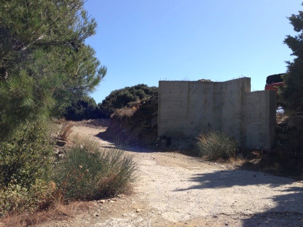
Pass a house and later this wall and look for red dots.
The point: take the upper street that leads to the gate
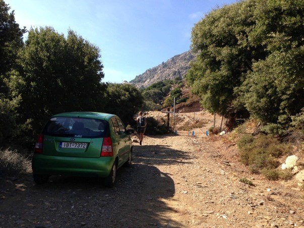
The gate is ahead
You can park in front of the gate. After the gate you can see stones painted white further up to the left that lead straight to the church.
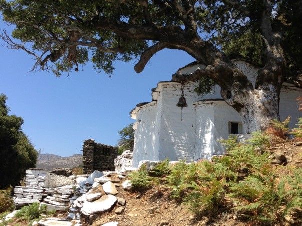
The little church of “Saint Onoufrio” is very pretty and beautifully located. The view of Therma and Agios Kirikos is spectacular.
The key to the church is on a narrow stone ledge above the door. Either you are tall or you need tools (stones) and your imagination to get to the key.
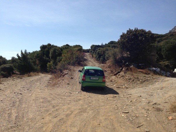
After the visit, it is recommended to walk or drive on foot or by car on the small road that goes up within the area after the gate on the right. The unpaved road (shown in yellow or light blue on the map) leads high above the village across back to the main road. You land a few curves before the military station at the top of the pass. It takes about 15 minutes by car, it takes about 15 minutes on foot… depending on your pace, mood and mood… The view is great.
Report from Edith